
Plik:Throop, the pond - geograph.org.uk - 1240027.jpg
Grafika w wyższej rozdzielczości nie jest dostępna.
Throop,_the_pond_-_geograph.org.uk_-_1240027.jpg (640 × 480 pikseli, rozmiar pliku: 86 KB, typ MIME: image/jpeg)
| Plik Throop, the pond - geograph.org.uk - 1240027.jpg znajduje się w Wikimedia Commons – repozytorium wolnych zasobów. Dane z jego strony opisu znajdują się poniżej. |
Opis
| Opis |
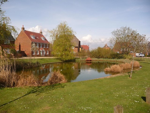
English: Throop: the pond Throop is one of the very last villagey enclaves in Bournemouth, most of the rest of it having been swallowed up by relentless development over the last hundred years.
It is therefore almost ironic that this typical rural scene should be such a recent creation: These houses, and the road and pond which they surround, were built only at the very end of the 20th century, and therefore the area retains its villagey feel. |
| Data | |
| Źródło | From geograph.org.uk |
| Autor | Chris Downer |
| Uznanie autorstwa (wymagana przez licencję) | Chris Downer / Throop: the pond / |
| Pozycja fotografa | | To i inne zdjęcia na: OpenStreetMap |
|---|
_heading:22.00&language=pl)
| Pozycja obiektu | | To i inne zdjęcia na: OpenStreetMap |
|---|
_heading:22.00&language=pl)
Licencja

|
Ta grafika pochodzi z kolekcji projektu Geograph. Aby zobaczyć szczegóły możesz odwiedzić stronę tego zdjęcia w serwisie Geograph. Prawa autorskie do tej grafiki posiada Chris Downer i jest ona udostępniona na licencji Creative Commons Uznanie autorstwa – Na tych samych warunkach 2.0.
|
Ten plik udostępniony jest na licencji Creative Commons Uznanie autorstwa – Na tych samych warunkach 2.0.
Uznanie autorstwa: Chris Downer
- Wolno:
- dzielić się – kopiować, rozpowszechniać, odtwarzać i wykonywać utwór
- modyfikować – tworzyć utwory zależne
- Na następujących warunkach:
- uznanie autorstwa – musisz określić autorstwo utworu, podać link do licencji, a także wskazać czy utwór został zmieniony. Możesz to zrobić w każdy rozsądny sposób, o ile nie będzie to sugerować, że licencjodawca popiera Ciebie lub Twoje użycie utworu.
- na tych samych warunkach – Jeśli zmienia się lub przekształca niniejszy utwór, lub tworzy inny na jego podstawie, można rozpowszechniać powstały w ten sposób nowy utwór tylko na podstawie tej samej lub podobnej licencji.
Historia pliku
Kliknij na datę/czas, aby zobaczyć, jak plik wyglądał w tym czasie.
| Data i czas | Miniatura | Wymiary | Użytkownik | Opis | |
|---|---|---|---|---|---|
| aktualny | 20:04, 26 lut 2011 | | 640 × 480 (86 KB) | GeographBot | == {{int:filedesc}} == {{Information |description={{en|1=Throop: the pond Throop is one of the very last villagey enclaves in Bournemouth, most of the rest of it having been swallowed up by relentless development over the last hundred years. It is ther |
Lokalne wykorzystanie pliku
Poniższa strona korzysta z tego pliku: