
Plik:HMS Queen Elizabeth alongside HMS Illustrious.jpg
Grafika w wyższej rozdzielczości nie jest dostępna.
HMS_Queen_Elizabeth_alongside_HMS_Illustrious.jpg (752 × 423 pikseli, rozmiar pliku: 78 KB, typ MIME: image/jpeg)
| Plik HMS Queen Elizabeth alongside HMS Illustrious.jpg znajduje się w Wikimedia Commons – repozytorium wolnych zasobów. Dane z jego strony opisu znajdują się poniżej. |
Opis
| Opis |
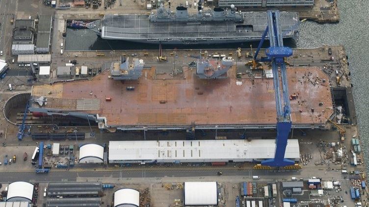
English: HMS Queen Elizabeth alongside HMS Illustrious |
| Data | |
| Źródło | http://www.aircraftcarrieralliance.co.uk/~/media/Images/A/Aircraft-Carrier-Alliance-V2/content-images/Image%20Library/collection/hms-illustrious-at-rosyth_preview.jpg?h=355&la=en&w=500 |
| Autor | Aircraft Carrier Alliance |
| Licencja (Ponowne użycie tego pliku) |
OGL (Open Government Licence) |
| Pozycja fotografa | | To i inne zdjęcia na: OpenStreetMap |
|---|
Licencja
_(St_Edwards_Crown).svg)
|
This file is licensed under the Open Government Licence version 1.0 (OGL v1.0).
|
|---|---|
| Uznanie autorstwa:Photo: HMS Queen Elizabeth/MOD | |
|
You are free to:
See the Open Government Licence page on Meta-Wiki for more information.
|
Historia pliku
Kliknij na datę/czas, aby zobaczyć, jak plik wyglądał w tym czasie.
| Data i czas | Miniatura | Wymiary | Użytkownik | Opis | |
|---|---|---|---|---|---|
| aktualny | 23:23, 4 lip 2014 | | 752 × 423 (78 KB) | Twobells | User created page with UploadWizard |
Lokalne wykorzystanie pliku
Poniższa strona korzysta z tego pliku:
Globalne wykorzystanie pliku
Ten plik jest wykorzystywany także w innych projektach wiki:
- Wykorzystanie na bn.wikipedia.org
- Wykorzystanie na cs.wikipedia.org
- Wykorzystanie na en.wikipedia.org
- Wykorzystanie na hu.wikipedia.org
- Wykorzystanie na ja.wikipedia.org
- Wykorzystanie na ko.wikipedia.org
- Wykorzystanie na ms.wikipedia.org
- Wykorzystanie na nl.wikipedia.org
- Wykorzystanie na pt.wikipedia.org