
Plik:1853 U.S. Coast Survey Map of the West Coast of the United States - Geographicus - WestCoast2-uscs-1853.jpg
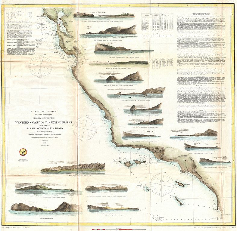
Rozmiar podglądu – 614 × 599 pikseli. Inne rozdzielczości: 246 × 240 pikseli | 492 × 480 pikseli | 787 × 768 pikseli | 1049 × 1024 pikseli | 2098 × 2048 pikseli | 5000 × 4881 pikseli.
Rozmiar pierwotny (5000 × 4881 pikseli, rozmiar pliku: 4,81 MB, typ MIME: image/jpeg)
| Plik 1853 U.S. Coast Survey Map of the West Coast of the United States - Geographicus - WestCoast2-uscs-1853.jpg znajduje się w Wikimedia Commons – repozytorium wolnych zasobów. Dane z jego strony opisu znajdują się poniżej. |
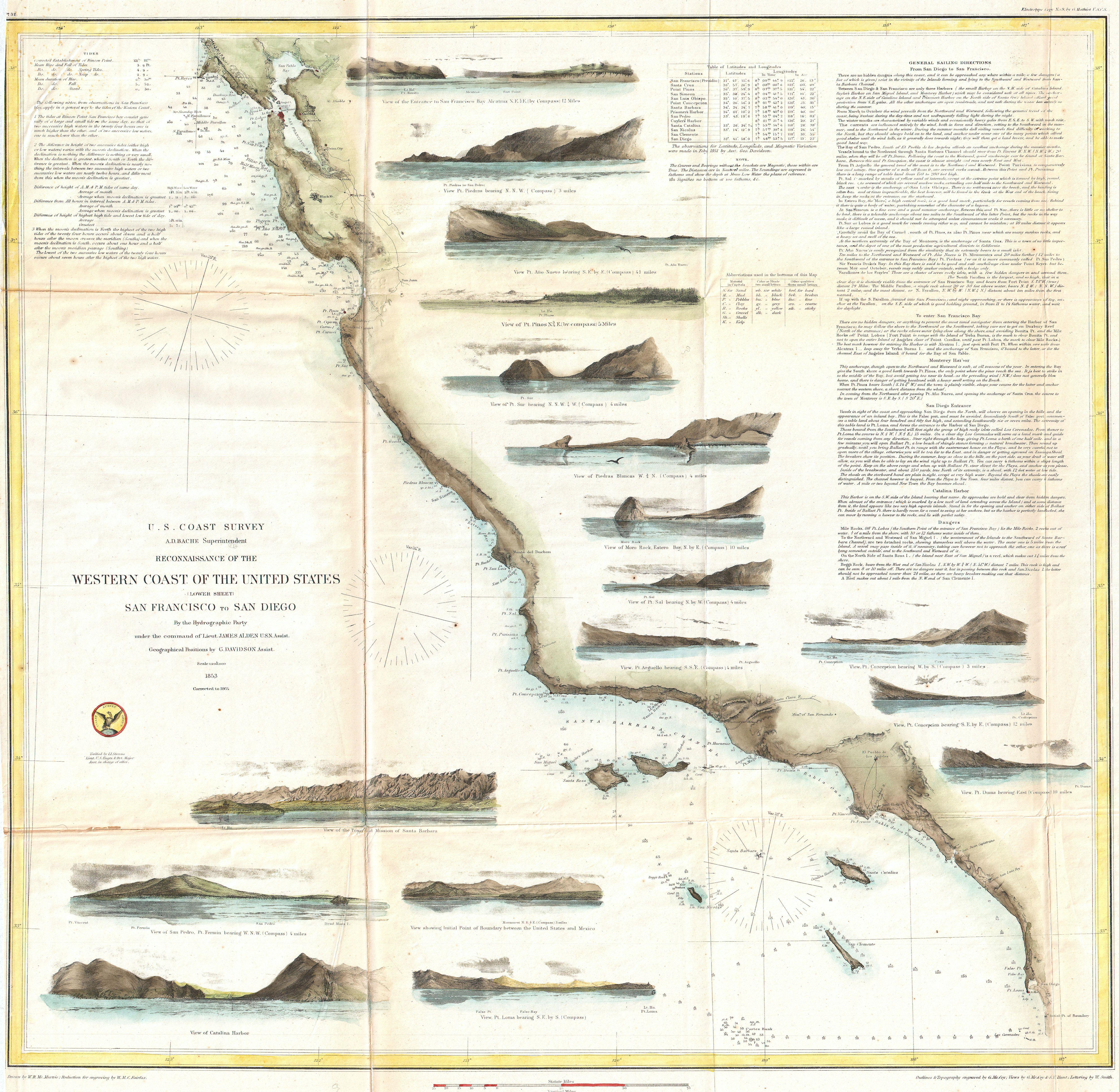
| Reconnaissance of the Western Coast of the United States (Lower Sheet) San Francisco to San Diego. | |||||||
|---|---|---|---|---|---|---|---|
| Artysta | |||||||
| Tytuł |
Reconnaissance of the Western Coast of the United States (Lower Sheet) San Francisco to San Diego. |
||||||
| Opis |
English: One of the most attractive and desirable of the original U.S. Coast Survey charts of the California Coast. Covers from San Diego and the Mexican border north as far north as Pt. Reyes and the San Francisco Bay.
|
||||||
| Data | 1853 (dated) "Corrected to 1864." | ||||||
| Rozmiar | wysokość: 22 cali (55,8 cm); szerokość: 23 cali (58,4 cm) | ||||||
| Numer inwentarzowy |
Geographicus link: WestCoast2-uscs-1853 |
||||||
| Źródło/Fotograf |
Report of the Superintendant of the U.S. Coast Survey, (1864 edition).
|
||||||
| Licencja (Ponowne użycie tego pliku) |
|
||||||

Historia pliku
Kliknij na datę/czas, aby zobaczyć, jak plik wyglądał w tym czasie.
| Data i czas | Miniatura | Wymiary | Użytkownik | Opis | |
|---|---|---|---|---|---|
| aktualny | 23:33, 22 mar 2011 | | 5000 × 4881 (4,81 MB) | BotMultichillT | {{subst:User:Multichill/Geographicus |link=http://www.geographicus.com/P/AntiqueMap/WestCoast2-uscs-1853 |product_name=1853 U.S. Coast Survey Map of the West Coast of the United States |map_title=Reconnaissance of the Western Coast of the United States (L |
Lokalne wykorzystanie pliku
Następujące strony korzystają z tego pliku: